
Flood Hazards
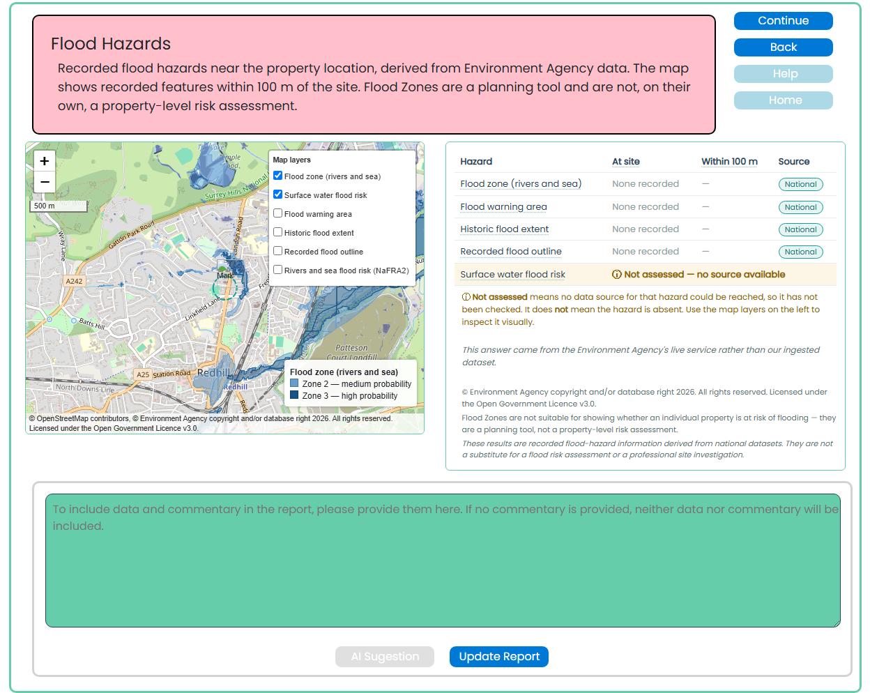
This screen summarises recorded flood-related information near the property location using Environment Agency data. It helps identify whether mapped flood features may be relevant to the site and should be considered in the desktop research report.
Purpose of this screen
The Flood Hazards screen shows available flood mapping within approximately 100 metres of the property, including:
- Flood zones for rivers and sea
- Surface water flood risk
- Flood warning areas
- Historic flood extents
- Recorded flood outlines
- Rivers and sea flood-risk mapping
The map provides a visual overview, while the hazard table shows whether a feature is recorded at the site or nearby and identifies the source of the information.
How to use this screen
- Review the property marker and the surrounding map area.
- Use the map-layer controls to show or hide the available flood datasets.
- Check the hazard table for features recorded at the site or within 100 metres.
- Pay attention to any result marked Not assessed or where no source data is available.
- Add relevant commentary in the text box below the map.
- Select AI Suggestion for help drafting report wording, where available.
- Select Update Report to save your approved commentary.
Understanding the results
Flood Zones are a planning tool. They indicate the likelihood of flooding from rivers or the sea across a wider area and are not, on their own, a property-level flood-risk assessment.
A result of “None recorded” means that no relevant mapped feature has been identified in the available dataset for that category. It does not guarantee that the property is free from flood risk.
Where a result is shown as Not assessed, the relevant data source was not available or has not been checked. This must not be interpreted as an absence of risk. Use the map layers and professional judgement to decide whether further enquiries are appropriate.
Important distinction
This screen only adds flood data and commentary to the report when text is entered and the report is updated. If no commentary is provided, neither the flood findings nor the map information will be included.
The information is based on recorded national datasets and is provided for desktop research and visual reference. It is not a flood-risk assessment, insurance assessment, drainage survey or substitute for specialist advice.
Why this matters
Flooding can affect a property’s condition, insurability, maintenance requirements, future use and value. Reviewing mapped flood information helps identify matters that may warrant further investigation, proportionate caveats or a recommendation for specialist advice.